Day Fourteen - Padstow to Porthcothan 21.6km (13.4 miles).
Time on route 5:20hrs, walking time 5:00hrs.
Friday 10 April 2015
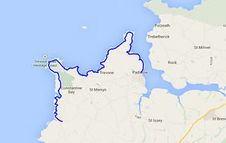
Ah, 'tis good to be back on the Coast Path.
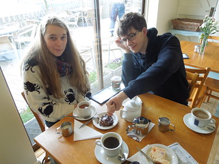
Today I was joined by Rog, my husband, Caitlin (car driver) and Morgan (official cake eater). It was a cool and breezy day so we started with warming coffee and cake in Padstow.
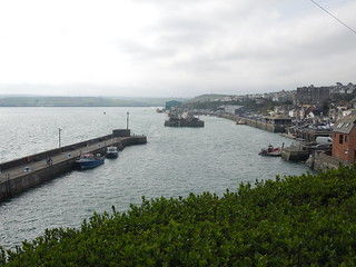
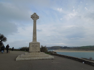
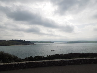
Rog and I then headed out north, past the War Memorial with moody views to the south.
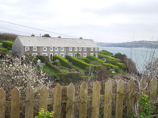
I loved the beautiful Cornish cottages...
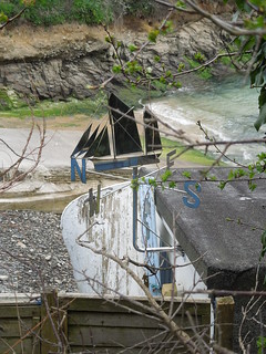
small private slipways...

and a cute weather vane.
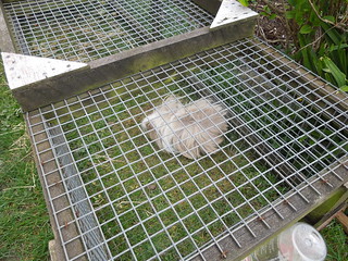
Not to mention an incredibly hairy guinea pig - yes, there really is an animal under all that.
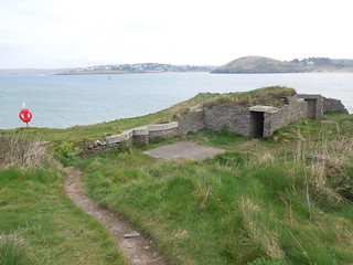
We passed signs of war fortifications at Gun Point dating back to the 19th Century. Although in fact coastal protection from this point must date back to the at least the 17th Century as this was named Gun Point on an 1801 Ordnance Survey map.
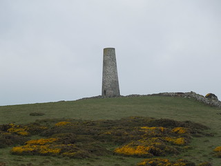
The daymark tower at Stepper Point was built in 1832 to help guide ships into the Camel Estuary.
The estuary has shifting sands, and a particular menace aptly named The Doom Bar. The lifeboat station was based nearby until 1967 when, after the loss of the third of its boats on the Bar, it was moved around the corner.
The going was easy today with only around 400m of ascent/descent. And good lungfuls of Cornish wind.
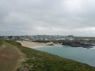
A wonderful view toward Trevone.
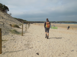
We stopped for a welcome pot of tea at the Harlyn Inn before heading out across the sands towards Trevose Head.
You get fine views of the new Padstow Lifeboat Station across Mother Ivey's Bay. It looks like a glorified beach hut with a furnicular behind it (for tourists?). It must be awesome to watch a boat being launched from this.
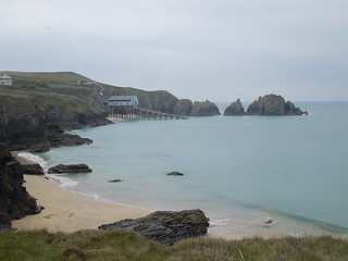
You walk in a pretty straight line behind the lifeboat station. Hard to get lost on this.
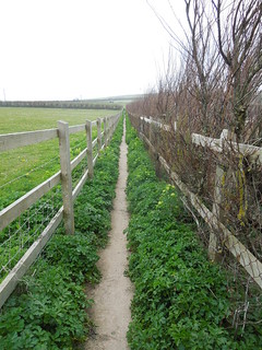
We rounded the bay and Trevose Head Lighthouse came into view.
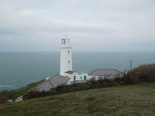
Not only a lighthouse, but a trig to boot - TP 0330.
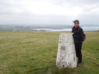
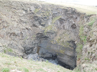
The geology of this stretch of coast is wonderful. Mainly slate but occasional limestone. And a few sink holes - not sure if caused by mining or some underground erosion?
You can just about make out a wreck stranded on Constantine Bay. If you look carefully you can see its mast lying prone in the sand on the seaward side.

We used the facilities at Treyarnon Point and when I came out of the toilet Rog was leaning over the cliff saying "why don't you climb up here?" He has a penchant for dogs so I presumed he was cajoling a local labrador to chase up the slope towards him. And then I too peered over the edge.
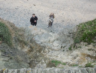
So that's where they'd got to.
The guidebook suggested stopping at Treyarnon Point but it made sense to push on a few more km to Prothcothan.
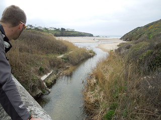
It has better bus services from Newquay which will be my next leg. So I'm already geared up and ready for Day 15. Can't wait.
Time on route 5:20hrs, walking time 5:00hrs.
Friday 10 April 2015

Ah, 'tis good to be back on the Coast Path.
Today I was joined by Rog, my husband, Caitlin (car driver) and Morgan (official cake eater). It was a cool and breezy day so we started with warming coffee and cake in Padstow.


Rog and I then headed out north, past the War Memorial with moody views to the south.


I loved the beautiful Cornish cottages...

small private slipways...

and a cute weather vane.

Not to mention an incredibly hairy guinea pig - yes, there really is an animal under all that.

We passed signs of war fortifications at Gun Point dating back to the 19th Century. Although in fact coastal protection from this point must date back to the at least the 17th Century as this was named Gun Point on an 1801 Ordnance Survey map.

The daymark tower at Stepper Point was built in 1832 to help guide ships into the Camel Estuary.

The estuary has shifting sands, and a particular menace aptly named The Doom Bar. The lifeboat station was based nearby until 1967 when, after the loss of the third of its boats on the Bar, it was moved around the corner.
The going was easy today with only around 400m of ascent/descent. And good lungfuls of Cornish wind.
A wonderful view toward Trevone.

We stopped for a welcome pot of tea at the Harlyn Inn before heading out across the sands towards Trevose Head.

You get fine views of the new Padstow Lifeboat Station across Mother Ivey's Bay. It looks like a glorified beach hut with a furnicular behind it (for tourists?). It must be awesome to watch a boat being launched from this.

You walk in a pretty straight line behind the lifeboat station. Hard to get lost on this.

We rounded the bay and Trevose Head Lighthouse came into view.

Not only a lighthouse, but a trig to boot - TP 0330.

The geology of this stretch of coast is wonderful. Mainly slate but occasional limestone. And a few sink holes - not sure if caused by mining or some underground erosion?

You can just about make out a wreck stranded on Constantine Bay. If you look carefully you can see its mast lying prone in the sand on the seaward side.

We used the facilities at Treyarnon Point and when I came out of the toilet Rog was leaning over the cliff saying "why don't you climb up here?" He has a penchant for dogs so I presumed he was cajoling a local labrador to chase up the slope towards him. And then I too peered over the edge.

So that's where they'd got to.
The guidebook suggested stopping at Treyarnon Point but it made sense to push on a few more km to Prothcothan.

It has better bus services from Newquay which will be my next leg. So I'm already geared up and ready for Day 15. Can't wait.
No comments:
Post a Comment