Sunday, 29 January 2017

Nearly Three Quarters

Day Thirty Six - Salcombe to Torcross 20.8km (12.9 miles).
Time on route 6:00hrs, walking time 5:50hrs.


Wednesday 18 January 2017
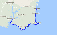
Day 36 map
I caught the bus down to Salcombe and enjoyed a coffee in the delightfully nautical Captain Morgan's whilst awaiting the ferry.  I bumped into a couple of guys at the jetty just climbing off their paddle-boards.  They had paddled down from Kingsbridge taking the opportunity of a calm estuary.  They said it was a treat to come down, have breakfast in Salcombe, then paddle back.  Now that's the way to spend a morning.
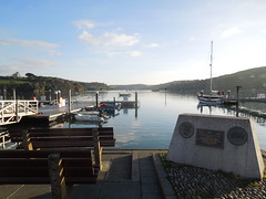
2017-01-18_1 Salcombe Harbour
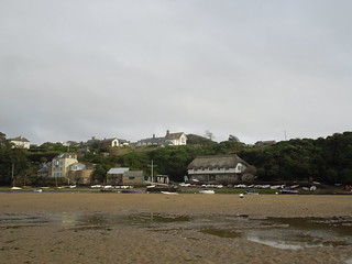
Salcombe glistened in the sun as I crossed yet another estuary.
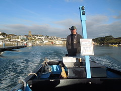
2017-01-18_1 Salcombe 09.19
Looking back on Salcombe from East Portlemouth.
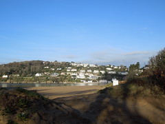
2017-01-18_1 Salcombe 22.32
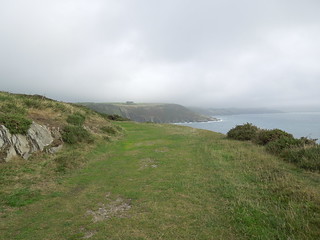
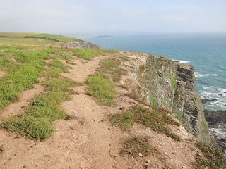
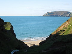
It was an easy path out of Salcombe across Portsmouth Down and Deckler's Cliff.  The winter sun created strong shadows down the gullies.
2017-01-18_2 Near Decklers Cliff
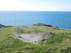
At Prawle Point there is a Coastwatch Institution station and small museum.  Neither of which I appear to have photographed directing my camera instead on this triangular piece of concrete.  I suspect it was the base of a telescope once.
2017-01-18_3 Prawle Point
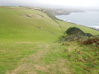
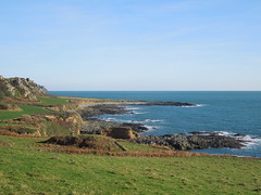
More gentle walking across what my guidebook told me was an early Pleistocene cliff line (I confess to not knowing my Pleistocene from my Plasticine) and past Langerstone Point.
2017-01-18_4 Nr Langerstone Point
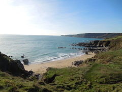
In Lanacombe Bay you find a grand dwelling that is being magnificently refurbished with the sign "Welcome to Maelcombe", followed by a not so friendly clarification sign stating "Keep Out".
2017-01-18_5 Lannacombe Bay 4.56.26
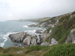
The path became more fiddly to walk.  It started to twist and turn both in the horizontal and vertical directions. The sort of path where you see your destination but sometimes you're actually walking away from it.  Added to this big stones/boulders under foot meant I had to watch my feet the whole time.

Eventually Start Point loomed into view.
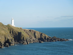
2017-01-18_6 Start Point 06.38
I'm not sure if the path goes right down to it, but I did - well as far as I was able without trespassing.
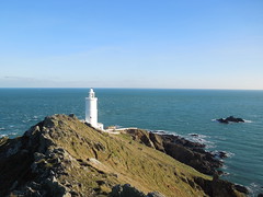
2017-01-18_6 Start Point 21.13
I hugged the ridge east over to it and walked the service road back west whereupon I did a double take on this sign.  It appeared to have very large distances on it and then I realised, to my delight, that it was a marker for the whole route!  In imperial terms, 462 miles walked, 168 to go.  A rough calculation in my head told me that I was nearly 3/4 of the way around the route (just 10 miles more).  What a welcome surprise.
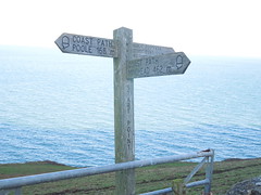
2017-01-18_6 Start Point 31.37
This part of Hallsands has seen better days and the new village is built further inland on the cliff top.  The old village was destroyed by the sea after dredging of its protective sand bar took place from 1897 onwards (more here).
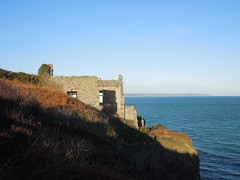
2017-01-18_7 Hallsands
A sign alerted me to danger in Beesands.
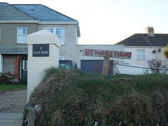
2017-01-18_8 Beesands7.56
And, once safely clear, I marvelled at the creativity of turning a rowing boat into a bench.
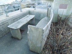
2017-01-18_8 Beesands4.10
Just before Torcross you ascend the cliffs circumventing an old quarry.  This has the advantage of affording wonderful views of Slapton Sands (with Slapton Ley on the left).  My route for the next day.
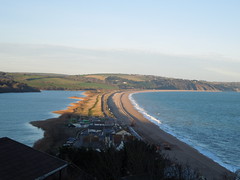
2017-01-18_9 Slapton Ley 5.11

Saturday, 28 January 2017

Cold and Calm to start the Year

Day Thirty Five - Bantham to Salcombe 20.3km (12.6 miles).
Time on route 5:30hrs, walking time 5:30hrs.


Tuesday 17 January 2017
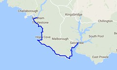
Day 35 map
For the legs south from Bantham I used Kingsbridge as a hub.  It was a prompt start and I parked at my B&B in time to catch the 0810 bus from there to Thurlstone.  The bus driver only charged me £1 as it was a school run and he said that's what everyone else was charged, even those I was twice the height of the other passengers!  Anyway, I then walked a kilometre down to the river Avon to pick up my route from 2016.

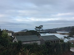
I was pleased to see the tea shop I'd found in September was open for a coffee at 0900 so I started my walk with coffee and a view.
2017-01-17_1 Avon River
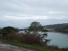
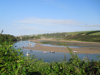
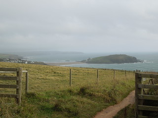
You can see Burgh Island to the left of this photo.  So peaceful and still.
2017-01-17_1 River Avon
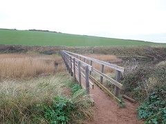
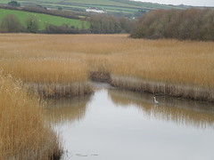
Anyway, once sated I head off into the cold, but calm day.  Just past Thurlestone golf course you drop down to South Milton and cross the Ley.  This is the second largest reed bed in Devon and you traverse it via a 73m footbridge.
2017-01-17 _3 South Milton Ley 5.59
A heron breakfasting.
2017-01-17 _3 South Milton Ley 6.40
Soon after you enter Outer and then Inner Hope, with the harbour being particularly photogenic.
2017-01-17_4 Inner Hope
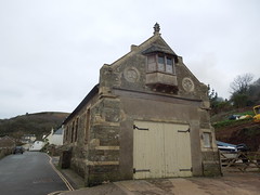
The old lifeboat station had a little treat for me...
2017-01-17 _4 Inner and Outer Hope  3.52
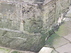
... a somewhat weathered benchmark.
2017-01-17 _4 Inner and Outer Hope  3.14
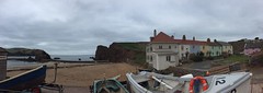
I climbed out and glanced back at Hope Harbour.  The pastel coloured cottages make a scenic view.
2017-01-17 _4 Inner and Outer Hope  6.04
It was a cold day so I didn't linger much, however I had to detour at Bolt Tail.  I used to work with the Royal Navy hydrographers and I knew they had a survey point somewhere on this promontory.  I even had the National Grid coordinates on me but without a station description (or a GPS) it was a pretty fruitless hunt for a survey marker flush with the ground, positioned 20 years ago and no doubt buried by ground cover by now.

The way ahead was clear and undulating, over Bolberry Down and The Warren (again, another survey marker here - again a failure to find).  It's a quiet path with few other walkers and limited refreshment opportunities - fine by me.
2017-01-17_5 The Warren
I passed Bolt Head and looked back at it from Sharp Tor.
2017-01-17_6 Bolt Head
Sharp Tor.
2017-01-17 _7 Sharp Tor 7.35
Then around the corner into South Sands.
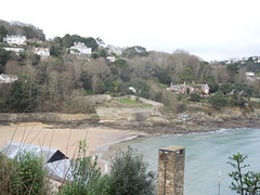
2017-01-17_8 South Sands
Once past this the path follows (mainly) a road into Salcombe.
2017-01-18_1 Salcombe 12.36
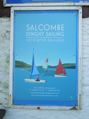
I checked out my ferry jetty for the next day.  The East Portlemouth ferry departs from a more northerly point in the winter and I always like to check out these things ahead of time if possible.
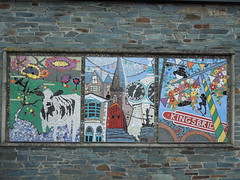
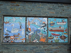
I caught a bus back to Kingsbridge - enjoying their lovely mosaics on arrival.
2017-01-17_9 Kingsbridge 28
2017-01-17_9 Kingsbridge 08
Kingsbridge is a great hub: buses, a decent B&B (Ashleigh House) and a good choice of restaurants so I dined well and slept like a queen.

Thursday, 22 September 2016

Addendum - River Avon

Day Thirty Four and a bit - Crossing the River Avon 50m.
Time on route 0:15hrs, sailing time 0:10hrs.


Wednesday 14 September 2016

The ferry across the River Avon is seasonal and this year finished on 17 September. So if I didn't get across I could either (a) walk the ~12km around the estuary or (b) just start from the Bantham side of the estuary. Neither appealed. So last Wednesday I drove down to Bantham and took the ferry across to Cockleridge and back.
20160914 Crossing the Avon 09.41.32
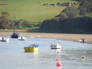
It was such a beautiful day.
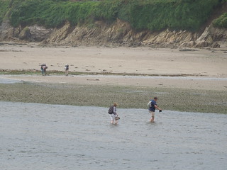
20160914 Crossing the Avon 09.41.36
I walked down to the river and sat watching swans take off.
20160914 Crossing the Avon 10.04.45
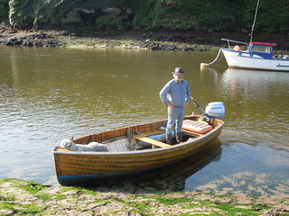
The harbour master has many duties here, one of which is running the ferry from 1000-1100 and 1500-1600 in high season.
20160914 Crossing the Avon 10.11.37
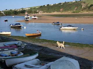
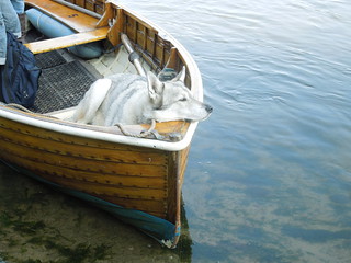
The harbour master's dog, Ty, knew exactly where his spot was.
20160914 Crossing the Avon 10.06.03
Ty got uppity during the crossing back from Cockleridge as another dog joined us in the boat. Some barking and total disconsternation by Ty resulted in him hopping off the boat at the earliest opportunity and running around until the imposter dog had left.
20160914 Crossing the Avon 10.14.48
It was a gorgeous day and I'm glad I made the effort to pop down.  Now I'm clear for river crossings for the rest of the season.   March on Ruth, march on.

Tide Waiting (and Chartered Surveyor 1 - Antiques Dealer 0)

Day Thirty Four - Noss Mayo to Bigbury-on-Sea 20.6km (12.8 miles).
Time on route 6:50hrs, walking time 5:20hrs.


Friday 09 September 2016
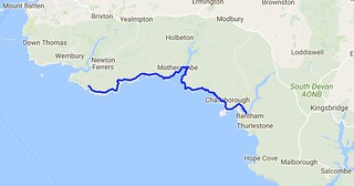
Day 34 map SWCP
I was in no hurry to leave this morning.  I had to wade the River Erme and you can only do that an hour each side of low tide.  And this was at 1653 BST (OK and also at 0430 but that was daft).  So I had a terribly lazy breakfast and chatted to Roger, my B&B host.

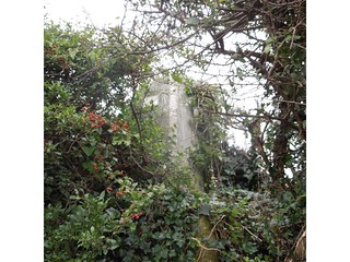
Roger is a retired antiques dealer but initially trained as a surveyor back in his youth.  We therefore had an interesting discussion about trig pillars.  I'd said there was one near the path that I was going to bag on my way out that morning.  "Ah yes, he said, "you passed it on your way here.  "No, I didn't," I replied, "that wasn't a proper trig pillar." I wish I'd taken a photo of it.  It was certainly trig like - square based, indentation in top for a reflector etc but it wasn't an OS one.  It was too short and too wide.  And there was no flush bracket.  And it wasn't at the top of the hill but beside a path.  I showed Roger on the map where the OS trig was.  He remonstrated that perhaps the farmer had moved it.

Anyway, as he had nothing better to do than prove me wrong, he wandered out with me.  As we neared where I thought it would be I explained it'd be in the hedge, probably with a gap in the bushes where other trig baggers had ascended, that it could be damaged on the top from hedge cutting, it'd have a 3 pronged spider in the top etc.

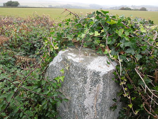
Roger remained unconvinced and I should have taken him up on his £10 bet.  Wished I had as, ta dah, guess what we came across!  TP0338.
20160909_1 TP0338 - Revelstoke 5.52
"Well I never," he muttered.  "Perhaps you do know what you're talking about."

You can even see the damage the hedge trimmer has done.
20160909_1 TP0338 - Revelstoke 3.23
Roger joined me for a km or so and we strolled the Revelstoke Drive.  At one stage Roger asked me about Mean Sea Level.  "As you know, mean sea level varies so how can you measure heights to it?" he quizzed.  A few minutes later, after hearing my explanation, he wearily said "OK, I guess you know your stuff don't you?"  And then rued that he hadn't tested me on my antiques knowledge whilst I'd been at his B&B so I could benefit from his specialist knowledge too.  I'd have been hopeless!
20160909_2 Revelstoke Drive
Once off the drive the path started to undulate more.
20160909_4 Tree 35
The photos never portray the steepness adequately but today's leg was billed as the most strenuous in South Devon.
20160909_5 Beacon Hill
Grey clouds followed me all day but the rain held off which was kind.  The wind was fierce though with significant gusts.  Just what I like when I'm battling stiff descents and ascents...
20160909_7 Near Bugle Hole
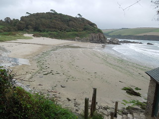
I strolled across Meadowsfoot Beach.
20160909_8 Meadowsfoot Beach 3.37.31
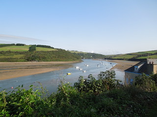
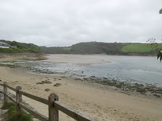
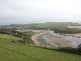
And as I turned the corner got my first view of the River Erme.
20160909_8 Meadowsfoot Beach 4.36.54
Up at Mothercombe, a 300m climb up a road, there is a seasonal cafe so I plonked myself there for a while warming up on tea.  I then tired of this and headed down to the beach to see if anyone had crossed the river yet.  I suspected not as it was 2.5 hours before low tide.  Roger had told me I could cross it with 2 hours to go but as he was over 6' in height I took his "don't worry - you'll be fine" with a pinch of salt.

So I sat and waited.
20160909_9 Crossing the Erme 4.50.47
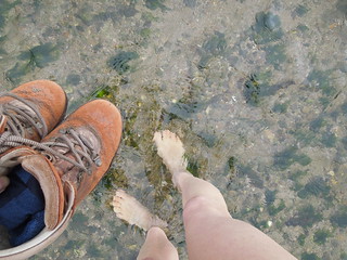
Soon a chap bounced past and jittered backwards and forwards by the river looking for a point to cross.  He managed to wade across but I couldn't see how deep it got.  But it looked safe enough.  I gave it another 30 minutes then stripped down to my shorts, carried my boots and headed across.
20160909_9 Crossing the Erme 5.20.33
It got knee deep as I waded across.  I didn't realise but I had an audience the other side who gave me a round of applause as I climbed out.  Having proved it was possible, others started de-booting and wading across.
20160909_9 Crossing the Erme 5.29.49
I dried off, re-shoed and headed off pleased that I was an hour ahead of schedule.  A final look back at the Erme.
20160909_10 The Erme Estuary 7.37
I am usually a stickler for following the path to the tee.  However with the strong gusts of wind even I decided that walking 1m away from the cliff edge was not sensible and I gave the path a few metres berth at this point.

Burgh Island appeared on my horizon now.  My end point for the day.
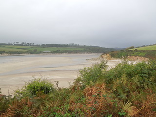
20160909_11 Towards Burgh Island 6.13.10
Getting closer.
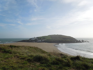
20160909_11 Towards Burgh Island 6.58.36
And closer.  Burgh Island has tidal access and a somewhat fancy hotel on it (Burgh Island).  I believe black tie is de rigueur for dinner.
20160909_11 Towards Burgh Island 7.16.32
I decided to see if I could push on to the River Avon.  I knew the ferry had finished for the day but thought if I at least got as far as I could from the west it would help the next section.
20160909_12 River Avon and Bantham 7.49.13
So I did.  In fact I walked quite a way across the sand flats towards Bantham before heading back to the car pondering how I was going to cross this river before the ferry closed for the season.
20160909_12 River Avon and Bantham 8.04.24