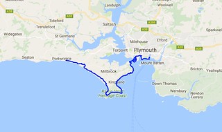
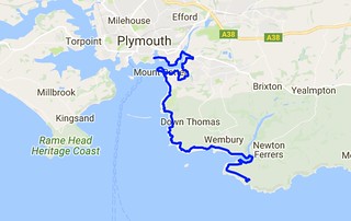
Day Thirty Three - Plymouth (Barbican) to Noss Mayo 21.3km (13.2 miles).
Time on route 6:55hrs, walking time 5:45hrs.
Thursday 08 September 2016
Another two day trip beckoned. The logistics were awkward for this leg as although the bus map looked plentiful for the South Hams area of Devon, it hid the fact that the buses I needed only ran weekly. Yup - just once a week. I considered taxis but I couldn't find an available one. So I resorted to driving and parking at my end point for the Friday (Bigbury-on-Sea) then walking 5km up to a more regular bus route near Aveton Gifford. It was a bracing start to the day as I parked further from the bus stop than expected and had to leg it 5km over a hill in 1:15. I did it with 5 minutes to spare.
As I sat on the bus trundling to Plymouth I realised that I had to maintain this reasonable pace for the day as I had a 1600 deadline for the River Yealm ferry. No rest for the weary and all that.
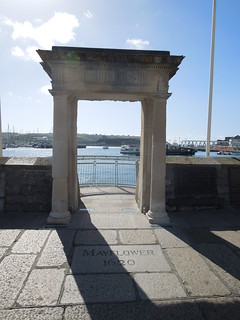
I picked up the path at the Mayflower Steps,
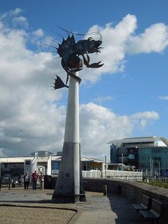
and headed towards the aquarium crossing Sutton Harbour. It was a beautiful day although the wind was strong and steady.
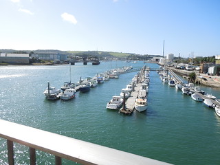
The first few kilometres were through the industrial estates of Cattedown. I then crossed the Plym at Laira Bridge.
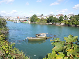
A backwater of the Plym contains several has-beens.
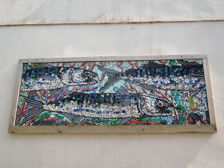
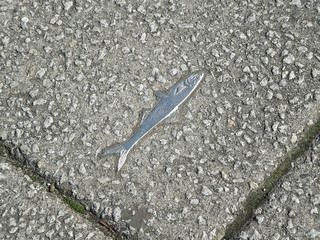
Today I discovered a wide variety of coast path sign. For a short while in Plymouth silver fish adorned my route.
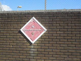
And whilst I was used to this marker by now I only realised on closer inspection that two of the arrows are painted white to indicate the direction to be taken. I hadn't spotted that on my last leg.
Through suburbia many of the lampposts have acorns pasted on them which helps enormously. These steel ones were easier to spot.
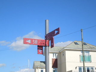
"Where's the path," I muttered to myself jabbing at my map as I checked my route. "There don't appear to be any acorns to guide me". I lifted my head and realised that this was about as clear a sign as I was ever going to get.
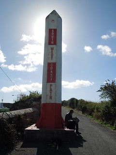
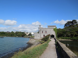
Once out of the industrial sector the path crosses Hooe and Radford Lakes. I just love Britain. One minute you're walking past a new hypermarket and the next you dip under a castle archway to cross a lake.
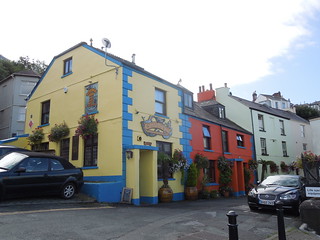
Beautiful pub at Clovelly.
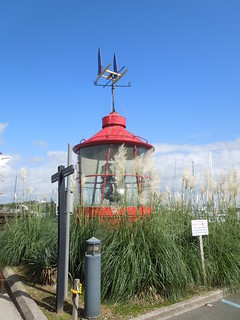
1.5 hours in and I was pretty much facing my start point of Sutton Harbour across Cattewater. Poof. Mount Batten Point has been much developed from its defensive and military requirements and now contains a variety of bar, cafe and chip shops.
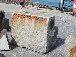
I liked this art. Initially I thought it was random blocks that no-one had bothered to move. But then I noticed that each one had a different set of initials in it.
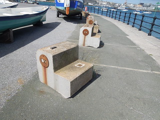
And on their back they have morse phrases such as "I am on fire".
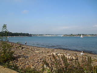
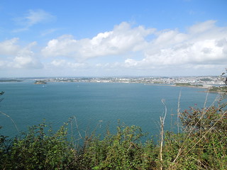
As I trudged on the views back across Plymouth Sound grew more awesome.
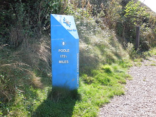
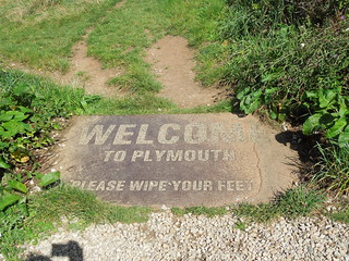
I climbed up Jennycliff and encountered another sign.
I forgot to wipe my feet as I left.
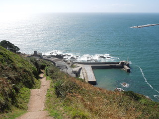
The path stays high as you walk past Fort Bovisand.
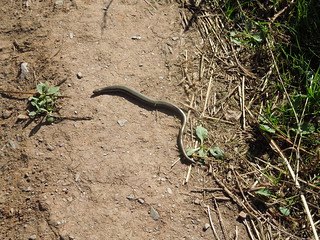
Slow worm?
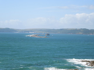
I keep forgetting how curved the Plymouth Breakwater is. I'm use to seeing it from the Hoe where it simply stretches across Plymouth Sound, and the fort looks to be part of the breakwater too from that angle. Nice to see it from a different perspective.
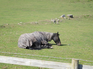
As I came into Wembury I spotted a horse with a whacky blanket. Horse in zebra clothing.
I was grateful to discover that I had 15 mins spare in Wembury. So I fell into the wonderful Old Mill Cafe whereupon I glugged two cans of coke straight off. I needed that.
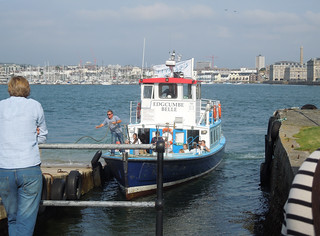
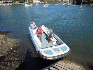
I caught the ferry from Wembury Point with 5 minutes to spare. This is Bill the ferryman and passengers.
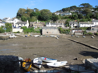
As I was no longer time pressured I headed into Noss Mayo for a drink. The tide was low so I walked across this tributary of Newton Creek to the Swan Inn.
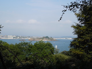
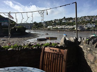
Lovely view in the sun :-)
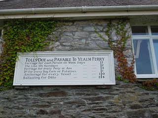
After my wine I headed back and picked up the path, passing a old ferry sign.
This bit of the path follows Revelstoke Drive, a 9 mile circular drive built by, you've guessed it, Lord Revelstoke in the 19th Century. Another drive built to show off one's estate - but they make for pleasant walking.
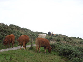
Just as I neared my B&B I encountered my key challenge of the day. I must be growing up - they scare me a little less than they used to.
Time on route 6:55hrs, walking time 5:45hrs.
Thursday 08 September 2016
Another two day trip beckoned. The logistics were awkward for this leg as although the bus map looked plentiful for the South Hams area of Devon, it hid the fact that the buses I needed only ran weekly. Yup - just once a week. I considered taxis but I couldn't find an available one. So I resorted to driving and parking at my end point for the Friday (Bigbury-on-Sea) then walking 5km up to a more regular bus route near Aveton Gifford. It was a bracing start to the day as I parked further from the bus stop than expected and had to leg it 5km over a hill in 1:15. I did it with 5 minutes to spare.
As I sat on the bus trundling to Plymouth I realised that I had to maintain this reasonable pace for the day as I had a 1600 deadline for the River Yealm ferry. No rest for the weary and all that.
I picked up the path at the Mayflower Steps,
and headed towards the aquarium crossing Sutton Harbour. It was a beautiful day although the wind was strong and steady.
The first few kilometres were through the industrial estates of Cattedown. I then crossed the Plym at Laira Bridge.
A backwater of the Plym contains several has-beens.
Today I discovered a wide variety of coast path sign. For a short while in Plymouth silver fish adorned my route.
And whilst I was used to this marker by now I only realised on closer inspection that two of the arrows are painted white to indicate the direction to be taken. I hadn't spotted that on my last leg.
Through suburbia many of the lampposts have acorns pasted on them which helps enormously. These steel ones were easier to spot.
"Where's the path," I muttered to myself jabbing at my map as I checked my route. "There don't appear to be any acorns to guide me". I lifted my head and realised that this was about as clear a sign as I was ever going to get.
Once out of the industrial sector the path crosses Hooe and Radford Lakes. I just love Britain. One minute you're walking past a new hypermarket and the next you dip under a castle archway to cross a lake.
Beautiful pub at Clovelly.
1.5 hours in and I was pretty much facing my start point of Sutton Harbour across Cattewater. Poof. Mount Batten Point has been much developed from its defensive and military requirements and now contains a variety of bar, cafe and chip shops.
I liked this art. Initially I thought it was random blocks that no-one had bothered to move. But then I noticed that each one had a different set of initials in it.
And on their back they have morse phrases such as "I am on fire".
As I trudged on the views back across Plymouth Sound grew more awesome.
I climbed up Jennycliff and encountered another sign.
I forgot to wipe my feet as I left.
The path stays high as you walk past Fort Bovisand.
Slow worm?
I keep forgetting how curved the Plymouth Breakwater is. I'm use to seeing it from the Hoe where it simply stretches across Plymouth Sound, and the fort looks to be part of the breakwater too from that angle. Nice to see it from a different perspective.
As I came into Wembury I spotted a horse with a whacky blanket. Horse in zebra clothing.
I was grateful to discover that I had 15 mins spare in Wembury. So I fell into the wonderful Old Mill Cafe whereupon I glugged two cans of coke straight off. I needed that.
I caught the ferry from Wembury Point with 5 minutes to spare. This is Bill the ferryman and passengers.
As I was no longer time pressured I headed into Noss Mayo for a drink. The tide was low so I walked across this tributary of Newton Creek to the Swan Inn.
Lovely view in the sun :-)
After my wine I headed back and picked up the path, passing a old ferry sign.
This bit of the path follows Revelstoke Drive, a 9 mile circular drive built by, you've guessed it, Lord Revelstoke in the 19th Century. Another drive built to show off one's estate - but they make for pleasant walking.
Just as I neared my B&B I encountered my key challenge of the day. I must be growing up - they scare me a little less than they used to.