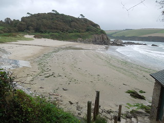
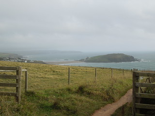
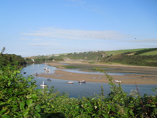
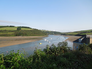
Thursday, 22 September 2016

Addendum - River Avon

Day Thirty Four and a bit - Crossing the River Avon 50m.
Time on route 0:15hrs, sailing time 0:10hrs.


Wednesday 14 September 2016

The ferry across the River Avon is seasonal and this year finished on 17 September. So if I didn't get across I could either (a) walk the ~12km around the estuary or (b) just start from the Bantham side of the estuary. Neither appealed. So last Wednesday I drove down to Bantham and took the ferry across to Cockleridge and back.
20160914 Crossing the Avon 09.41.32
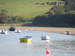
It was such a beautiful day.
20160914 Crossing the Avon 09.41.36
I walked down to the river and sat watching swans take off.
20160914 Crossing the Avon 10.04.45
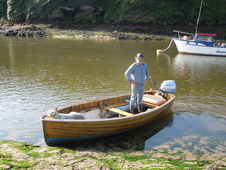
The harbour master has many duties here, one of which is running the ferry from 1000-1100 and 1500-1600 in high season.
20160914 Crossing the Avon 10.11.37
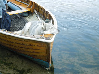
The harbour master's dog, Ty, knew exactly where his spot was.
20160914 Crossing the Avon 10.06.03
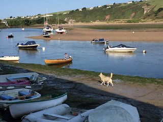
Ty got uppity during the crossing back from Cockleridge as another dog joined us in the boat. Some barking and total disconsternation by Ty resulted in him hopping off the boat at the earliest opportunity and running around until the imposter dog had left.
20160914 Crossing the Avon 10.14.48
It was a gorgeous day and I'm glad I made the effort to pop down.  Now I'm clear for river crossings for the rest of the season.   March on Ruth, march on.

Tide Waiting (and Chartered Surveyor 1 - Antiques Dealer 0)

Day Thirty Four - Noss Mayo to Bigbury-on-Sea 20.6km (12.8 miles).
Time on route 6:50hrs, walking time 5:20hrs.


Friday 09 September 2016
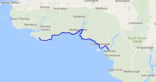
Day 34 map SWCP
I was in no hurry to leave this morning.  I had to wade the River Erme and you can only do that an hour each side of low tide.  And this was at 1653 BST (OK and also at 0430 but that was daft).  So I had a terribly lazy breakfast and chatted to Roger, my B&B host.

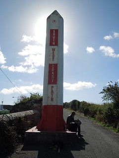
Roger is a retired antiques dealer but initially trained as a surveyor back in his youth.  We therefore had an interesting discussion about trig pillars.  I'd said there was one near the path that I was going to bag on my way out that morning.  "Ah yes, he said, "you passed it on your way here.  "No, I didn't," I replied, "that wasn't a proper trig pillar." I wish I'd taken a photo of it.  It was certainly trig like - square based, indentation in top for a reflector etc but it wasn't an OS one.  It was too short and too wide.  And there was no flush bracket.  And it wasn't at the top of the hill but beside a path.  I showed Roger on the map where the OS trig was.  He remonstrated that perhaps the farmer had moved it.

Anyway, as he had nothing better to do than prove me wrong, he wandered out with me.  As we neared where I thought it would be I explained it'd be in the hedge, probably with a gap in the bushes where other trig baggers had ascended, that it could be damaged on the top from hedge cutting, it'd have a 3 pronged spider in the top etc.

Roger remained unconvinced and I should have taken him up on his £10 bet.  Wished I had as, ta dah, guess what we came across!  TP0338.
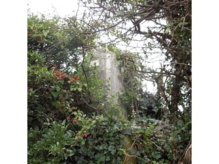
20160909_1 TP0338 - Revelstoke 5.52
"Well I never," he muttered.  "Perhaps you do know what you're talking about."

You can even see the damage the hedge trimmer has done.
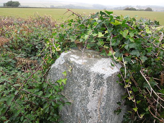
20160909_1 TP0338 - Revelstoke 3.23
Roger joined me for a km or so and we strolled the Revelstoke Drive.  At one stage Roger asked me about Mean Sea Level.  "As you know, mean sea level varies so how can you measure heights to it?" he quizzed.  A few minutes later, after hearing my explanation, he wearily said "OK, I guess you know your stuff don't you?"  And then rued that he hadn't tested me on my antiques knowledge whilst I'd been at his B&B so I could benefit from his specialist knowledge too.  I'd have been hopeless!
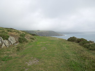
20160909_2 Revelstoke Drive
Once off the drive the path started to undulate more.
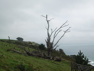
20160909_4 Tree 35
The photos never portray the steepness adequately but today's leg was billed as the most strenuous in South Devon.
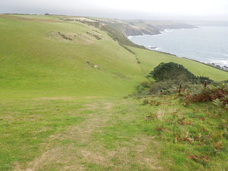
20160909_5 Beacon Hill
Grey clouds followed me all day but the rain held off which was kind.  The wind was fierce though with significant gusts.  Just what I like when I'm battling stiff descents and ascents...
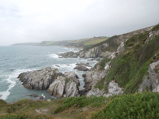
20160909_7 Near Bugle Hole
I strolled across Meadowsfoot Beach.
20160909_8 Meadowsfoot Beach 3.37.31
And as I turned the corner got my first view of the River Erme.
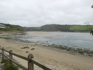
20160909_8 Meadowsfoot Beach 4.36.54
Up at Mothercombe, a 300m climb up a road, there is a seasonal cafe so I plonked myself there for a while warming up on tea.  I then tired of this and headed down to the beach to see if anyone had crossed the river yet.  I suspected not as it was 2.5 hours before low tide.  Roger had told me I could cross it with 2 hours to go but as he was over 6' in height I took his "don't worry - you'll be fine" with a pinch of salt.

So I sat and waited.
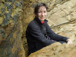
20160909_9 Crossing the Erme 4.50.47
Soon a chap bounced past and jittered backwards and forwards by the river looking for a point to cross.  He managed to wade across but I couldn't see how deep it got.  But it looked safe enough.  I gave it another 30 minutes then stripped down to my shorts, carried my boots and headed across.
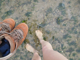
20160909_9 Crossing the Erme 5.20.33
It got knee deep as I waded across.  I didn't realise but I had an audience the other side who gave me a round of applause as I climbed out.  Having proved it was possible, others started de-booting and wading across.
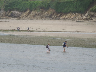
20160909_9 Crossing the Erme 5.29.49
I dried off, re-shoed and headed off pleased that I was an hour ahead of schedule.  A final look back at the Erme.
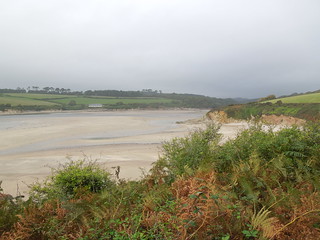
20160909_10 The Erme Estuary 7.37
I am usually a stickler for following the path to the tee.  However with the strong gusts of wind even I decided that walking 1m away from the cliff edge was not sensible and I gave the path a few metres berth at this point.

Burgh Island appeared on my horizon now.  My end point for the day.
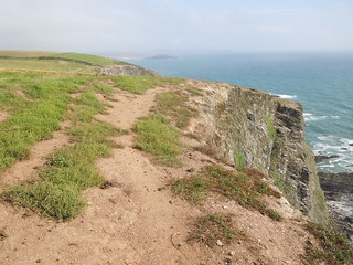
20160909_11 Towards Burgh Island 6.13.10
Getting closer.
20160909_11 Towards Burgh Island 6.58.36
And closer.  Burgh Island has tidal access and a somewhat fancy hotel on it (Burgh Island).  I believe black tie is de rigueur for dinner.
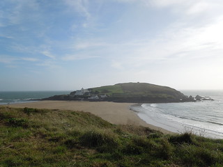
20160909_11 Towards Burgh Island 7.16.32
I decided to see if I could push on to the River Avon.  I knew the ferry had finished for the day but thought if I at least got as far as I could from the west it would help the next section.
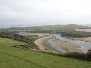
20160909_12 River Avon and Bantham 7.49.13
So I did.  In fact I walked quite a way across the sand flats towards Bantham before heading back to the car pondering how I was going to cross this river before the ferry closed for the season.
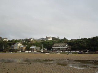
20160909_12 River Avon and Bantham 8.04.24

Urban to Rural - Keeping Pace with the Path

Day Thirty Three - Plymouth (Barbican) to Noss Mayo 21.3km (13.2 miles).
Time on route 6:55hrs, walking time 5:45hrs.


Thursday 08 September 2016
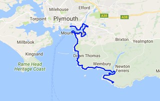
Day 33 map SWCP
Another two day trip beckoned.  The logistics were awkward for this leg as although the bus map looked plentiful for the South Hams area of Devon, it hid the fact that the buses I needed only ran weekly.  Yup - just once a week.  I considered taxis but I couldn't find an available one.  So I resorted to driving  and parking at my end point for the Friday (Bigbury-on-Sea) then walking 5km up to a more regular bus route near Aveton Gifford.  It was a bracing start to the day as I parked further from the bus stop than expected and had to leg it 5km over a hill in 1:15.  I did it with 5 minutes to spare.

As I sat on the bus trundling to Plymouth I realised that I had to maintain this reasonable pace for the day as I had a 1600 deadline for the River Yealm ferry.  No rest for the weary and all that.

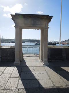
I picked up the path at the Mayflower Steps,
2016-09-08 11.04.30
and headed towards the aquarium crossing Sutton Harbour.  It was a beautiful day although the wind was strong and steady.
2016-09-08 11.04.47
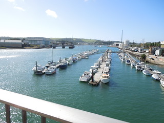
The first few kilometres were through the industrial estates of Cattedown.  I then crossed the Plym at Laira Bridge.
2016-09-08 11.39.41
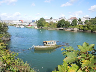
A backwater of the Plym contains several has-beens.
2016-09-08 11.48.35
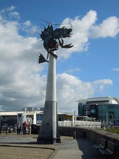
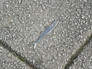
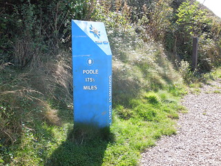
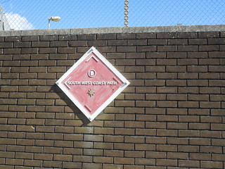
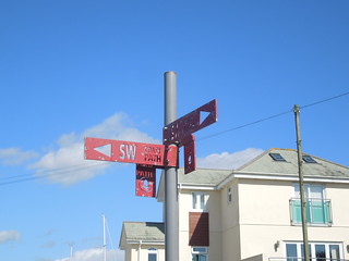
Today I discovered a wide variety of coast path sign.  For a short while in Plymouth silver fish adorned my route.
2016-09-08 11.06.28
And whilst I was used to this marker by now I only realised on closer inspection that two of the arrows are painted white to indicate the direction to be taken.  I hadn't spotted that on my last leg.
2016-09-08 11.27.44
Through suburbia many of the lampposts have acorns pasted on them which helps enormously.  These steel ones were easier to spot.
2016-09-08 11.58.00
"Where's the path," I muttered to myself jabbing at my map as I checked my route.  "There don't appear to be any acorns to guide me".  I lifted my head and realised that this was about as clear a sign as I was ever going to get.
2016-09-08 11.15.22
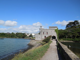
Once out of the industrial sector the path crosses Hooe and Radford Lakes.  I just love Britain.  One minute you're walking past a new hypermarket and the next you dip under a castle archway to cross a lake.
2016-09-08 12.09.53
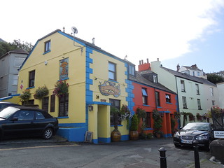
Beautiful pub at Clovelly.

2016-09-08 12.29.49
1.5 hours in and I was pretty much facing my start point of Sutton Harbour across Cattewater.  Poof.  Mount Batten Point has been much developed from its defensive and military requirements and now contains a variety of bar, cafe and chip shops.
2016-09-08 12.37.09
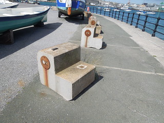
I liked this art.  Initially I thought it was random blocks that no-one had bothered to move.  But then I noticed that each one had a different set of initials in it.
2016-09-08 12.42.38
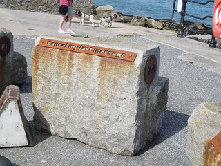
And on their back they have morse phrases such as "I am on fire".
2016-09-08 12.43.00
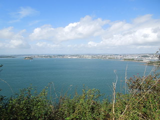
As I trudged on the views back across Plymouth Sound grew more awesome.
2016-09-08 13.24.59
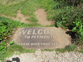
I climbed up Jennycliff and encountered another sign.
2016-09-08 13.13.12
I forgot to wipe my feet as I left.
2016-09-08 13.13.21
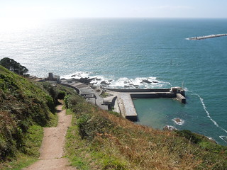
The path stays high as you walk past Fort Bovisand.
2016-09-08 13.33.28
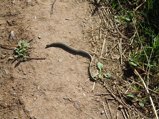
Slow worm?
2016-09-08 14.26.31
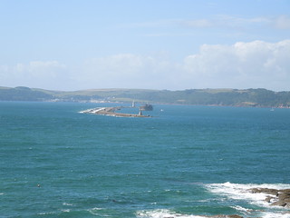
I keep forgetting how curved the Plymouth Breakwater is.  I'm use to seeing it from the Hoe where it simply stretches across Plymouth Sound, and the fort looks to be part of the breakwater too from that angle.  Nice to see it from a different perspective.
2016-09-08 13.49.54
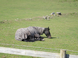
As I came into Wembury I spotted a horse with a whacky blanket.  Horse in zebra clothing.
2016-09-08 14.51.50
I was grateful to discover that I had 15 mins spare in Wembury.  So I fell into the wonderful Old Mill Cafe whereupon I glugged two cans of coke straight off.  I needed that.

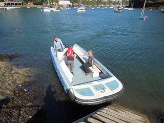
I caught the ferry from Wembury Point with 5 minutes to spare.  This is Bill the ferryman and passengers.
2016-09-08 15.51.37
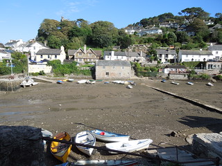
As I was no longer time pressured I headed into Noss Mayo for a drink.  The tide was low so I walked across this tributary of Newton Creek to the Swan Inn.
2016-09-08 16.09.24
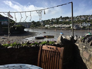
Lovely view in the sun :-)
2016-09-08 16.11.10
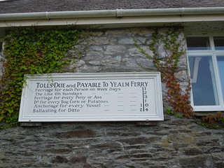
After my wine I headed back and picked up the path, passing a old ferry sign.
2016-09-08 17.01.25
This bit of the path follows Revelstoke Drive, a 9 mile circular drive built by, you've guessed it, Lord Revelstoke in the 19th Century.  Another drive built to show off one's estate - but they make for pleasant walking.

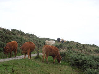
Just as I neared my B&B I encountered my key challenge of the day.  I must be growing up - they scare me a little less than they used to.
2016-09-08 17.44.49