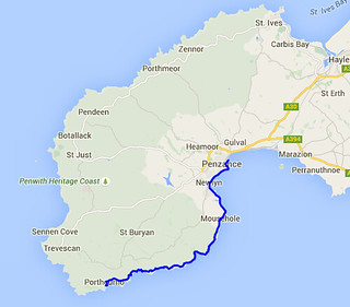
Day Twenty One - Porthcurno to Penzance 19.0km (11.8 miles).
Time on route 5:45hrs, walking time 5:35hrs.
Monday 31 August 2015
I hadn't meant to leave it so long but summer holidaying crowded out the coast path. However I managed to carve out a free day today so travelled down to St Ives on Sunday (I could find nowhere suitable to stay in Penzance) ready for the off today. I got a tad lost in the one-way system in St Ives and got stuck in a bus-meets-local-and-stops-for-chat traffic jam. Not a shabby view whilst I waited.

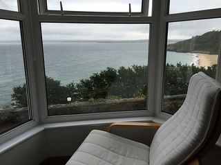
And I had a wondrous view from my B&B.
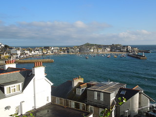
This morning the sun shone and St Ives sparkled.
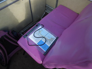
I drove to Penzance, parked up, and caught the 1A bus to Porthcurno. Great excitement to get an open top bus for my journey and pleased that I had something waterproof to sit on rather than the wet seat. My next book: 1001 uses for a map case.
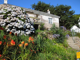
Porthcurno is full of standard Cornish prettiness.

I'd forgotten that you can't see the Minack from the coast path (note to self - hire yacht next time). As it turned out my daughter was unable to join me today anyway - see last leg when we'd come off the path moments before the Minack. She had a prior appointment which was fine, but then nailed her point home by breaking her toe. Honestly - I really wasn't going to force her - self-inflicting injury was a bit much!
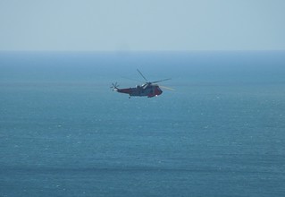
A sea king trundled past.
Penberth is a National Trust village and chocolate box worthy with its unspoiltness.
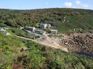
It remains a working fishing village.

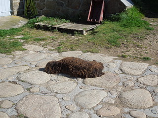
This pile of hair raised its head as I passed. A supremely lethargic and sun loving dog.
St Loy's Cove was magical: cascading streams, hydrangea, ferns, bridges.
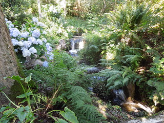
Which lead out to a boulder strewn beach along which the path meanders for 100m or so.
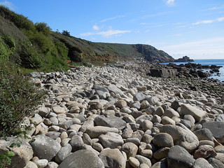
Tater-du Lighthouse.
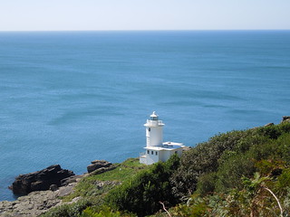
Coming into Lamorna. A cross overlooks the cove.
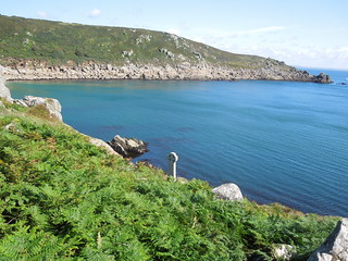
Just after taking this photo I stumbled and fell heavily hurting my knee (come back RN SAR!) so I sat in the charming village and lunched/nursed my knee. Fortunately no great harm done so I headed off wincing a bit at the continued boulder covered hills and valleys of the coast path.
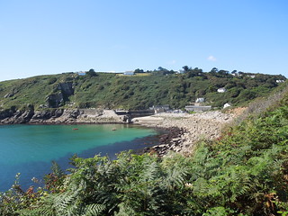
About 1km west of Mousehole the path joined a road (hurrah) so my knees got an easier ride. What a beautiful view from the washing line.
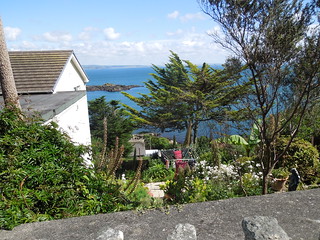
Looking across to St Clement's Isle.
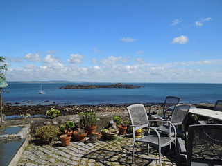
It hosts something trig-like - perhaps a navigation feature?
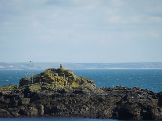
The tide was out in the quaint Mousehole harbour.
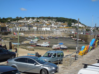
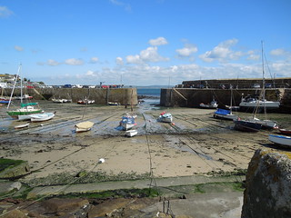
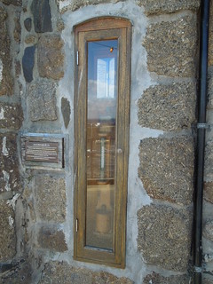
Rounding the corner I bumped into Fitzroy's barometer. This was initially lent to Mousehole in 1845 by Admiral Fitzroy, founder of the UK Met Office. It was the start of the Met Office's storm warning system. The barometer was gifted to Mousehole in 2009.
Next village along was Newlyn. I had been really looking forward to walking through this.
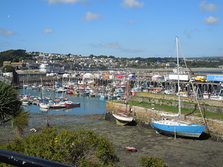
Not because it's yet another pretty harbour, but because it hosts the tidal observatory at which Mean Sea Level for the UK is defined. There it is, at the end of the South Pier.
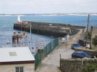
To my dismay there is no public access. So I had to be content with taking pictures of random pirate ships: of which there were a lot as it was Newlyn's annual Fish Festival today. They had wonderful weather for it.
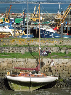
Newlyn and Penzance merge into each other and it was a flat walk along the promenade.
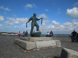
The railings were bedecked with flags.
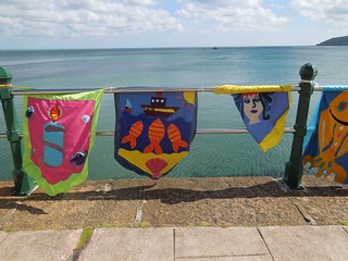
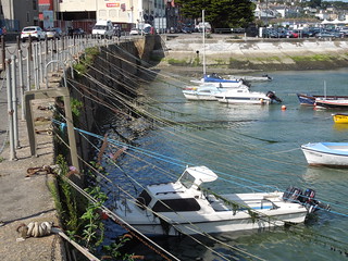
I loved the lines of ropes tethering the boats.
Another wonderful day in the sun on the path. You can't beat it.
Time on route 5:45hrs, walking time 5:35hrs.
Monday 31 August 2015

I hadn't meant to leave it so long but summer holidaying crowded out the coast path. However I managed to carve out a free day today so travelled down to St Ives on Sunday (I could find nowhere suitable to stay in Penzance) ready for the off today. I got a tad lost in the one-way system in St Ives and got stuck in a bus-meets-local-and-stops-for-chat traffic jam. Not a shabby view whilst I waited.

And I had a wondrous view from my B&B.

This morning the sun shone and St Ives sparkled.

I drove to Penzance, parked up, and caught the 1A bus to Porthcurno. Great excitement to get an open top bus for my journey and pleased that I had something waterproof to sit on rather than the wet seat. My next book: 1001 uses for a map case.

Porthcurno is full of standard Cornish prettiness.


I'd forgotten that you can't see the Minack from the coast path (note to self - hire yacht next time). As it turned out my daughter was unable to join me today anyway - see last leg when we'd come off the path moments before the Minack. She had a prior appointment which was fine, but then nailed her point home by breaking her toe. Honestly - I really wasn't going to force her - self-inflicting injury was a bit much!
A sea king trundled past.

Penberth is a National Trust village and chocolate box worthy with its unspoiltness.

It remains a working fishing village.

This pile of hair raised its head as I passed. A supremely lethargic and sun loving dog.

St Loy's Cove was magical: cascading streams, hydrangea, ferns, bridges.

Which lead out to a boulder strewn beach along which the path meanders for 100m or so.

Tater-du Lighthouse.

Coming into Lamorna. A cross overlooks the cove.

Just after taking this photo I stumbled and fell heavily hurting my knee (come back RN SAR!) so I sat in the charming village and lunched/nursed my knee. Fortunately no great harm done so I headed off wincing a bit at the continued boulder covered hills and valleys of the coast path.

About 1km west of Mousehole the path joined a road (hurrah) so my knees got an easier ride. What a beautiful view from the washing line.

Looking across to St Clement's Isle.

It hosts something trig-like - perhaps a navigation feature?

The tide was out in the quaint Mousehole harbour.


Rounding the corner I bumped into Fitzroy's barometer. This was initially lent to Mousehole in 1845 by Admiral Fitzroy, founder of the UK Met Office. It was the start of the Met Office's storm warning system. The barometer was gifted to Mousehole in 2009.

Next village along was Newlyn. I had been really looking forward to walking through this.

Not because it's yet another pretty harbour, but because it hosts the tidal observatory at which Mean Sea Level for the UK is defined. There it is, at the end of the South Pier.

To my dismay there is no public access. So I had to be content with taking pictures of random pirate ships: of which there were a lot as it was Newlyn's annual Fish Festival today. They had wonderful weather for it.

Newlyn and Penzance merge into each other and it was a flat walk along the promenade.

The railings were bedecked with flags.

I loved the lines of ropes tethering the boats.

Another wonderful day in the sun on the path. You can't beat it.